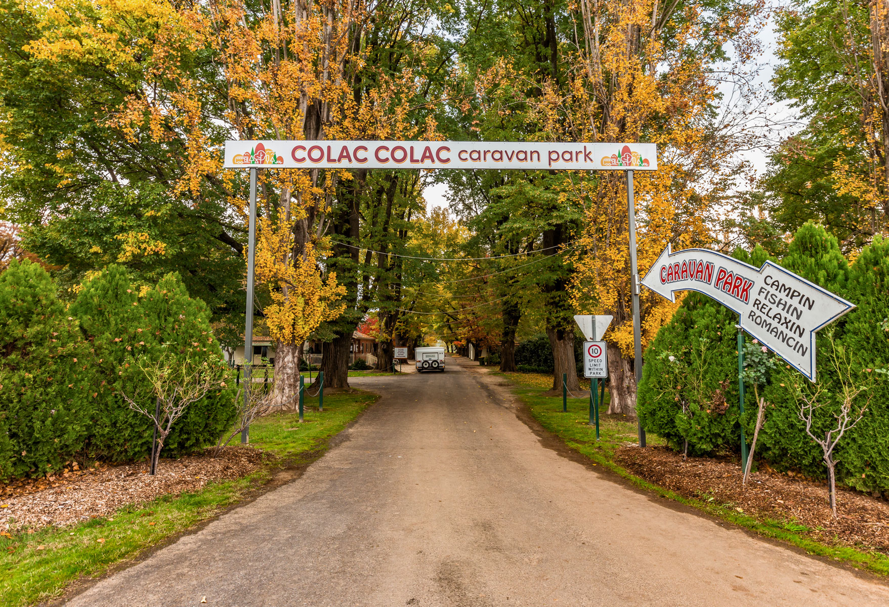
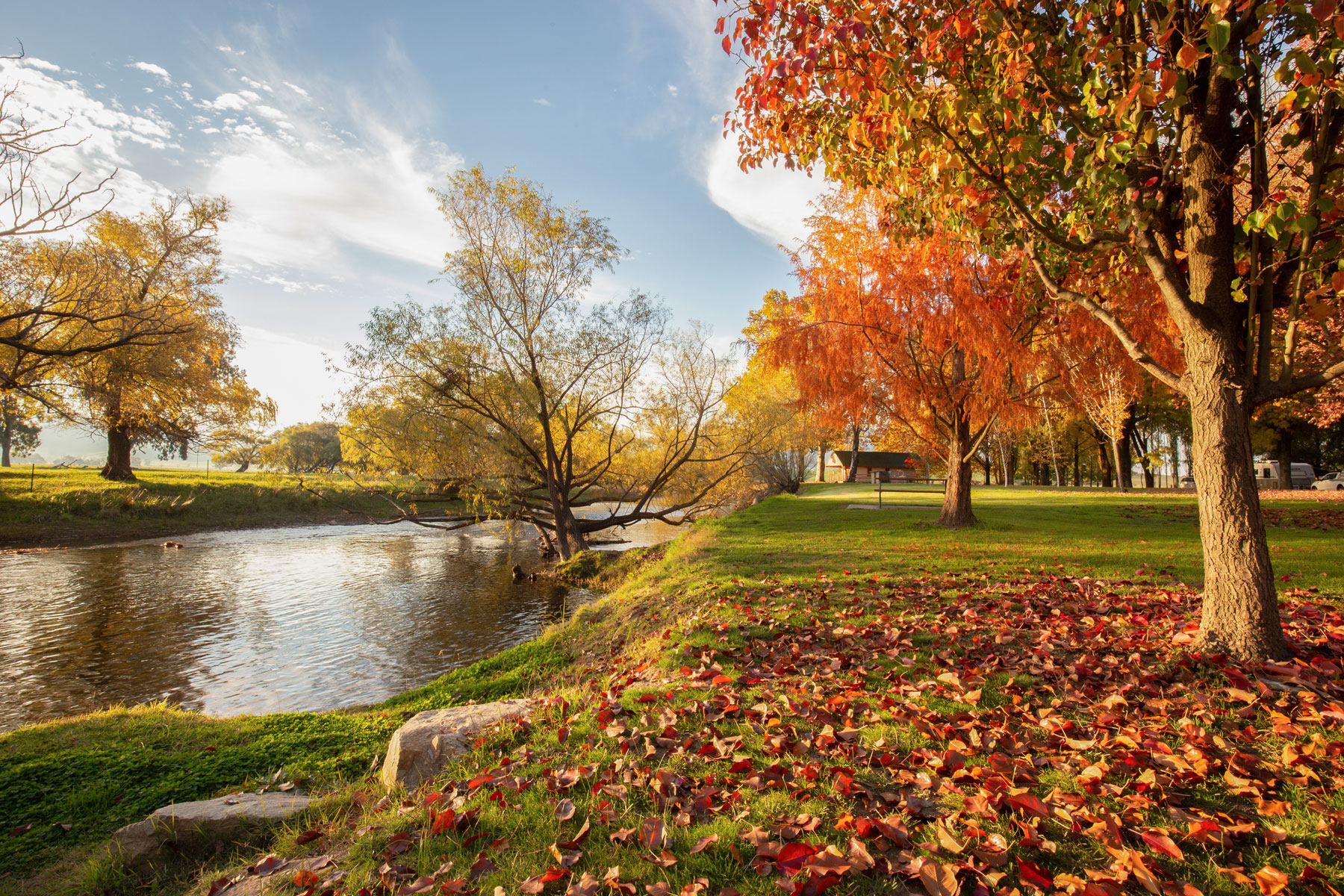
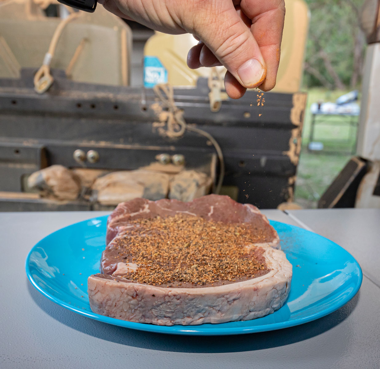
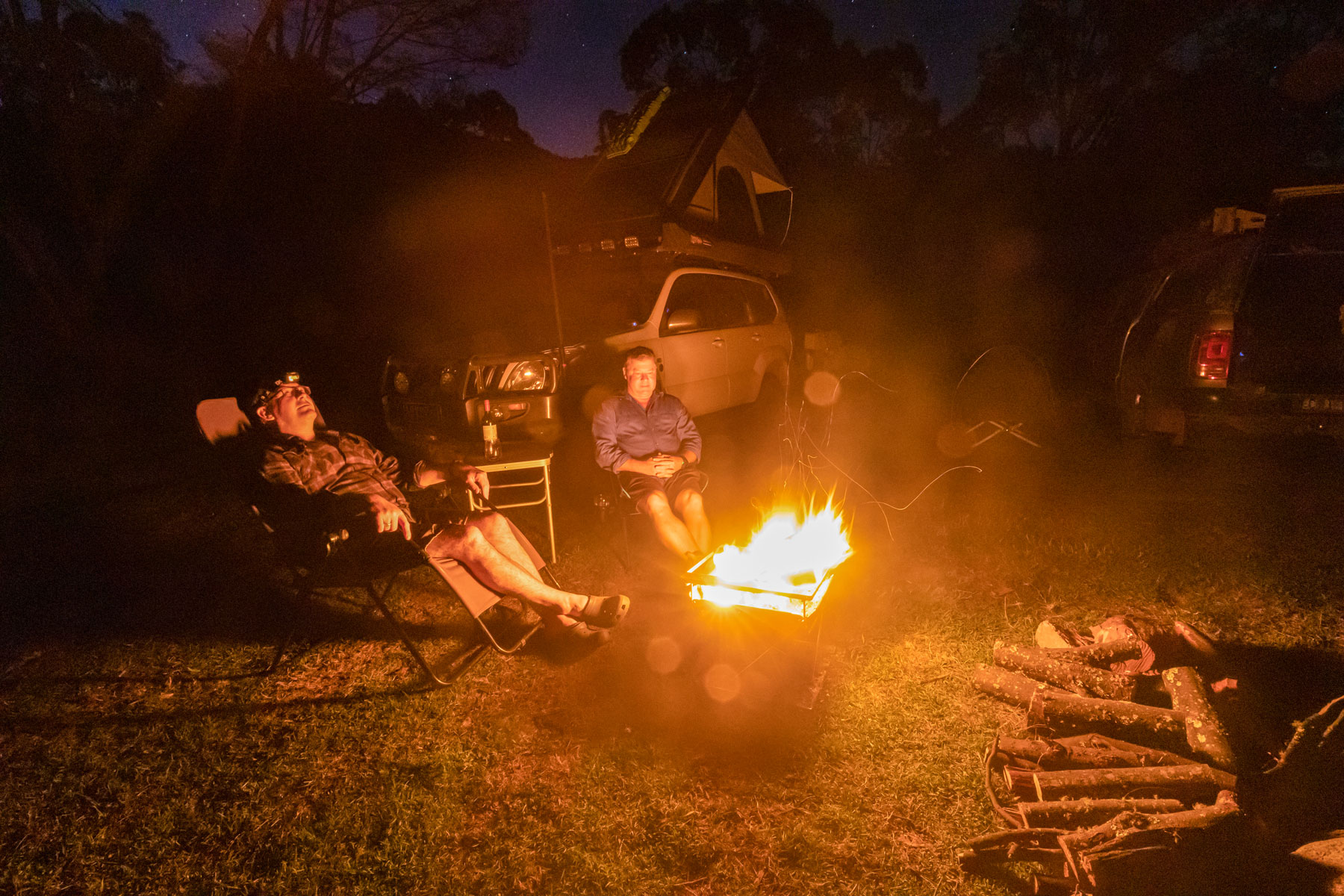
I've always wondered why Colac Colac, west of Corryong, is pronounced “Clac Clac”, why are the “o’s” there at all? The caravan park was busy which is great to see for February and scoring a last-minute campsite on the creek was like winning the lottery. With the sun setting, the fire was lit and once the coals were ready, they helped cook our New York porterhouse steaks perfectly. After a long day at work for both Mick and me, we hit the hay early, excited for what tomorrow will bring.
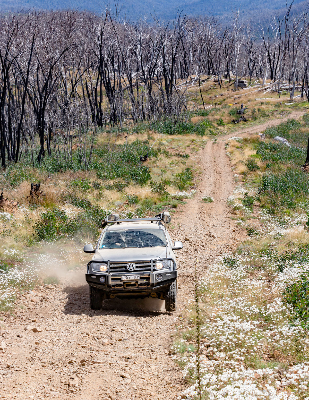
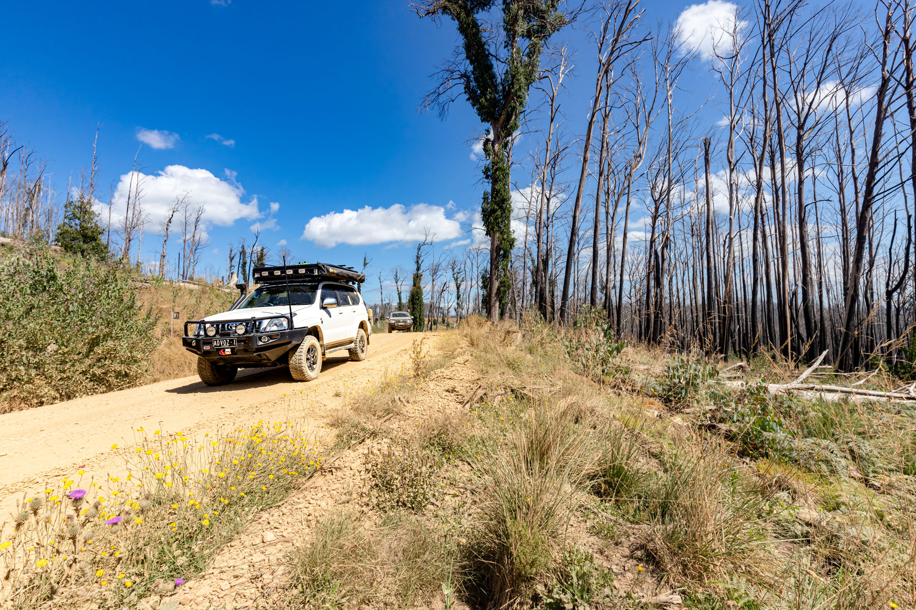
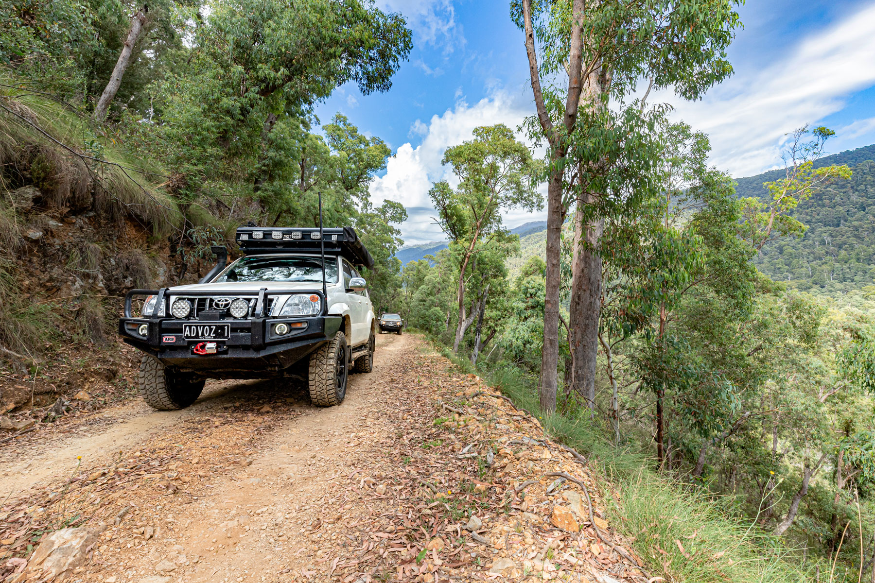
Departing Colac Colac Caravan Park mid-morning, it's never a rush getting to Mount Pinnibar, however, it also depends on what track you take to get close to it. As Mick was a newbie to four-wheeling, I decided that Dunstans Logging Road was the easiest option and it offered amazing sights as the road climbed to the beginning of Mount Pinnibar track. That's where it started to get interesting.


 The perfect place to camp at Colac Colac Caravan Park
The track was heavily washed out with several recent storms making things more challenging. I dropped my butt into one deep hole but was able to reverse a little to correct my line and continue onwards and upwards. Mick coped very well with this stretch. His Amarock may sit at stock height but with the help of the vehicle's traction aids and picking the right line, Mick kept on climbing. Hema rates this section of track as black diamond, so it was good going by the newbie.
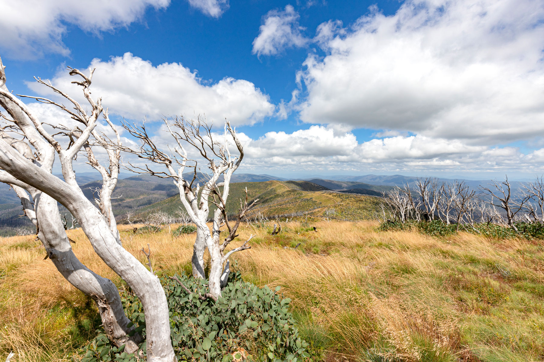
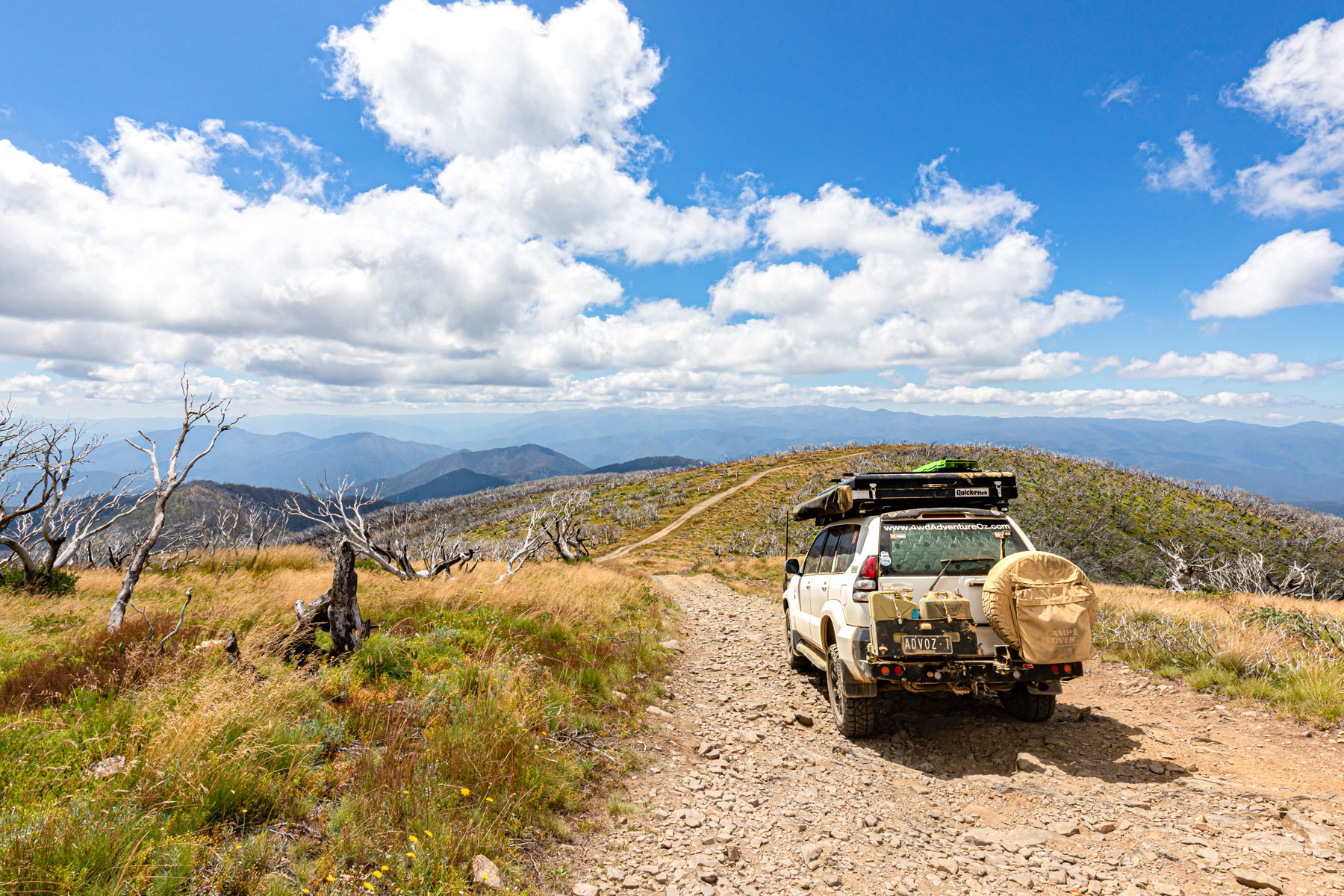
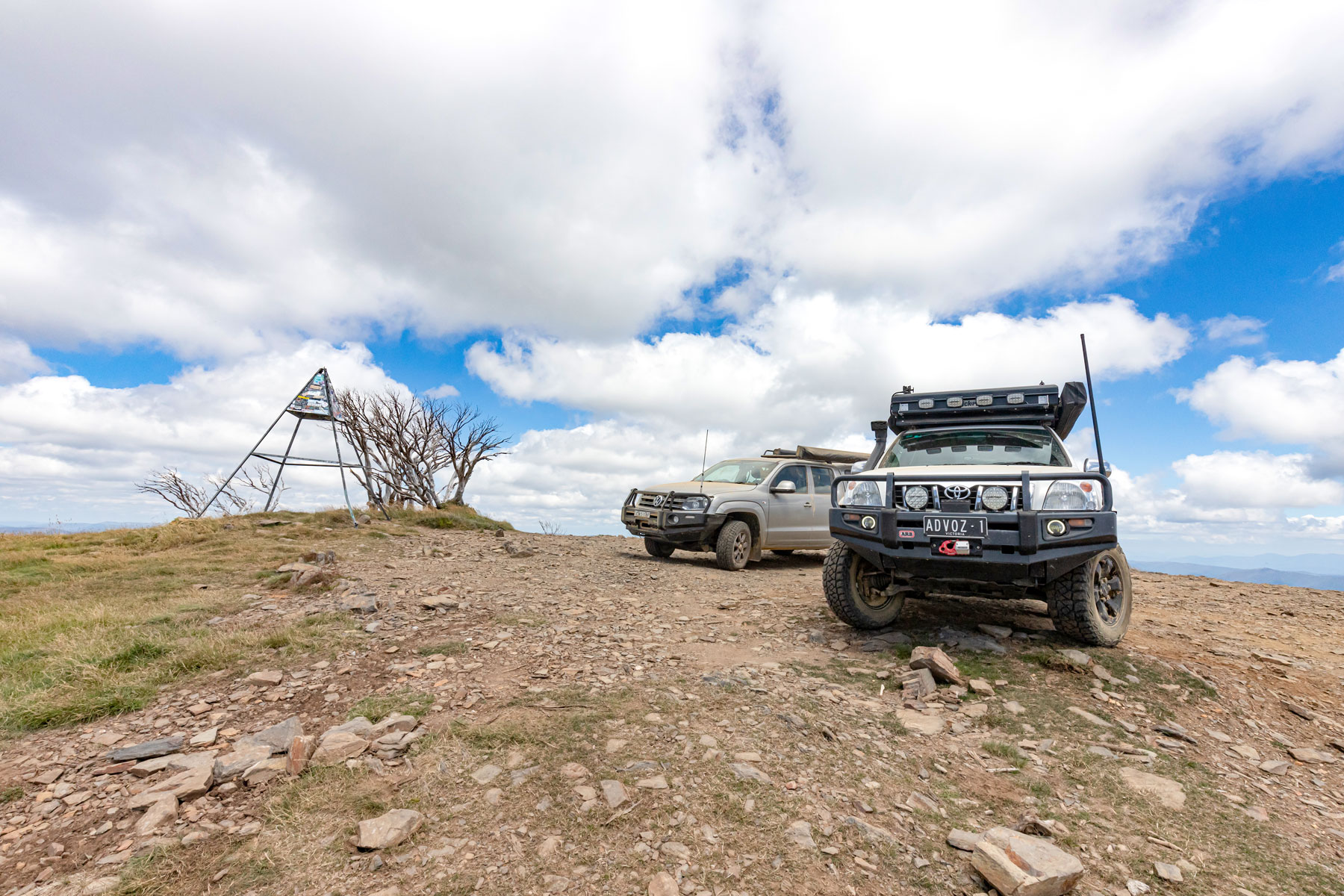
Mount Pinnibar Summit
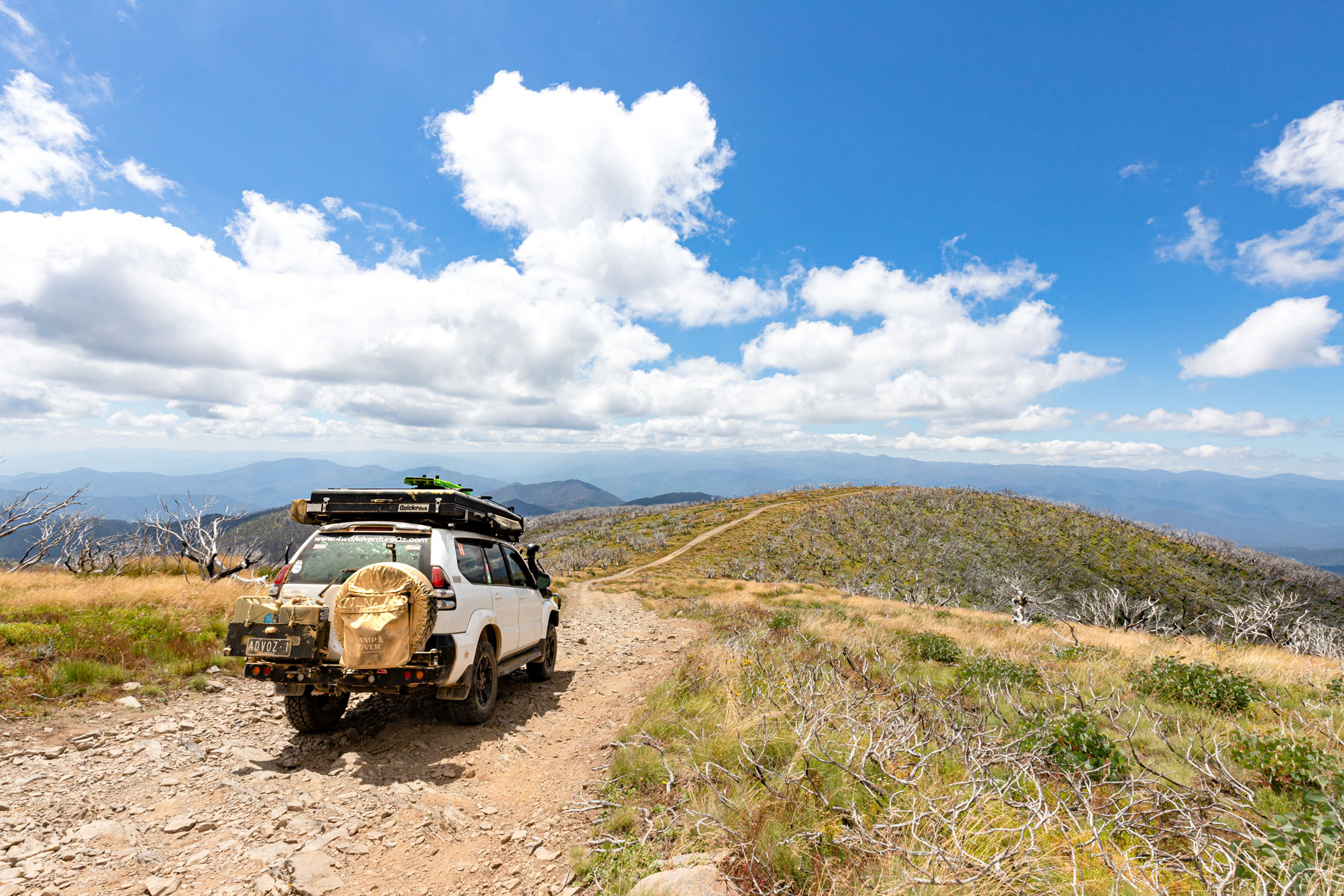
Upon reaching the summit at 1772m, I was surprised to find we were the only ones there. It didn't last long though as a family in a 200 Series crawled to the top following our tracks. With happy snaps taken, it was time to enjoy the stunning views. Mt Kosciusko to the east, Mount Beauty to the west and the Cobberas to the south. The effect of the devastating 2020 fires was evident with so many of the old Snow Gums now utterly exhausted and no longer producing epicormic sprouts or seedlings. The heat was terminal for these high-country Snow Gums. I was also disappointed to see limbs cut from living Snow Gums, it’s not difficult to bring your own bloody milled wood if you're going to light a campfire up here.
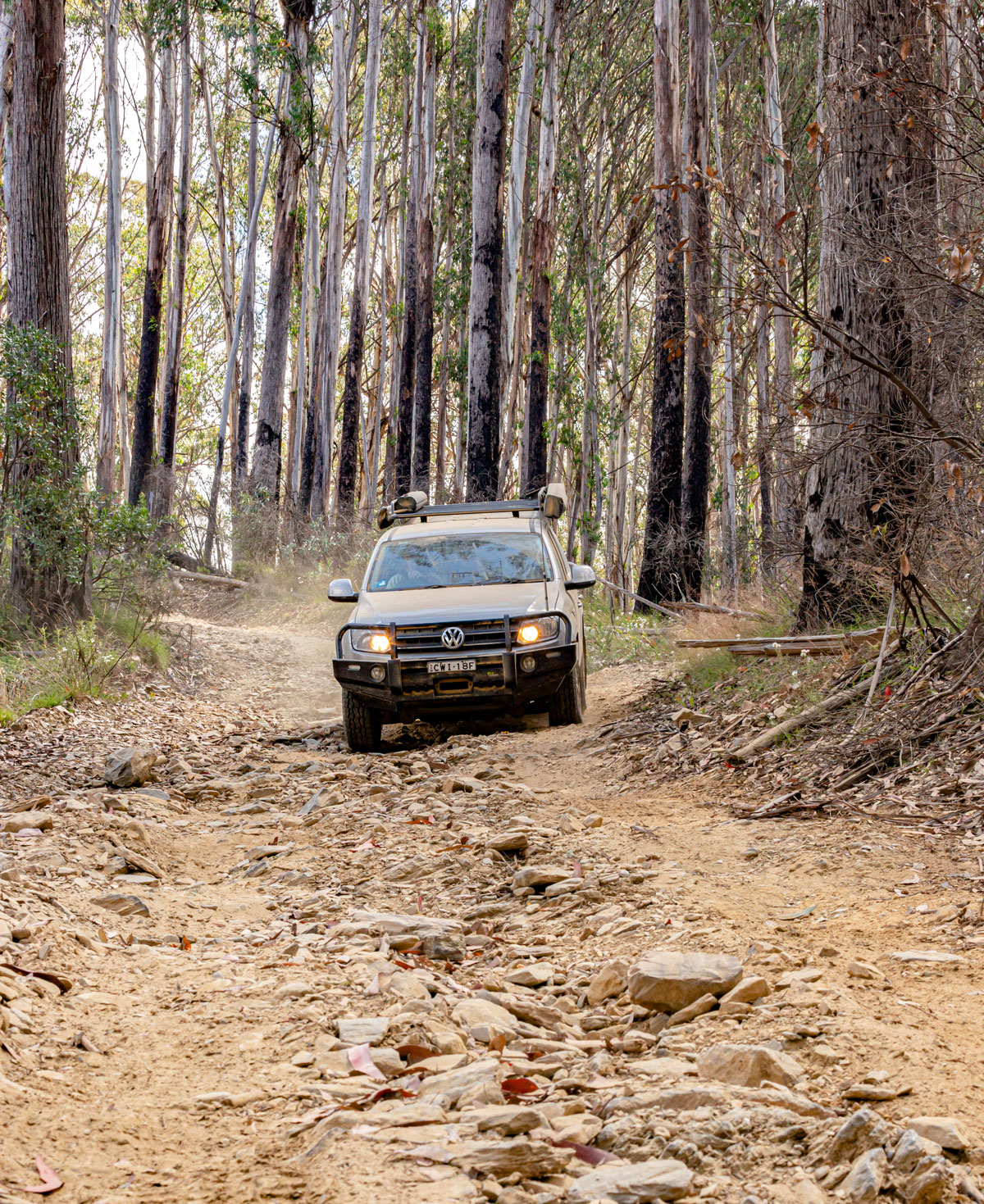
It was only 16° at the Mount Pinnibar summit, but once we dropped below 500m the temperature began rising reaching 27° at the Murray River. The track down to the snowline was badly cut up and eroded in places and it is certainly easier guiding your way down than trying to scramble up the track. Then the track changes to a clay base and we were surprised by a kaleidoscope of butterflies and swarms of dragonflies that flitted across in front of the vehicles.
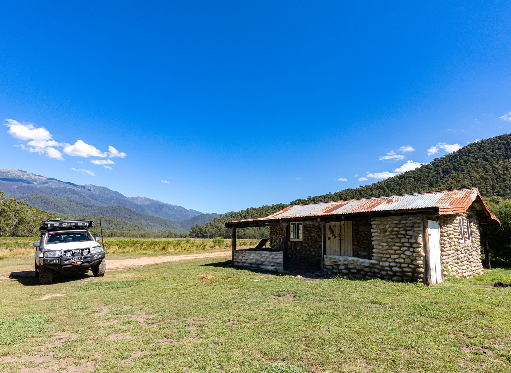
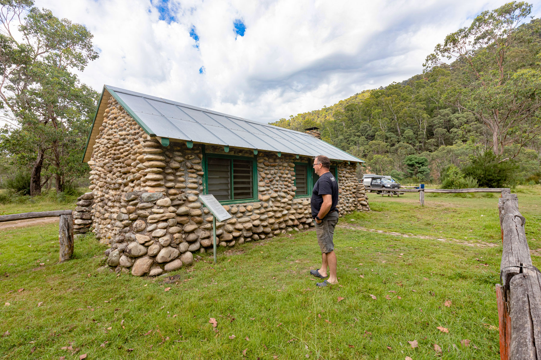
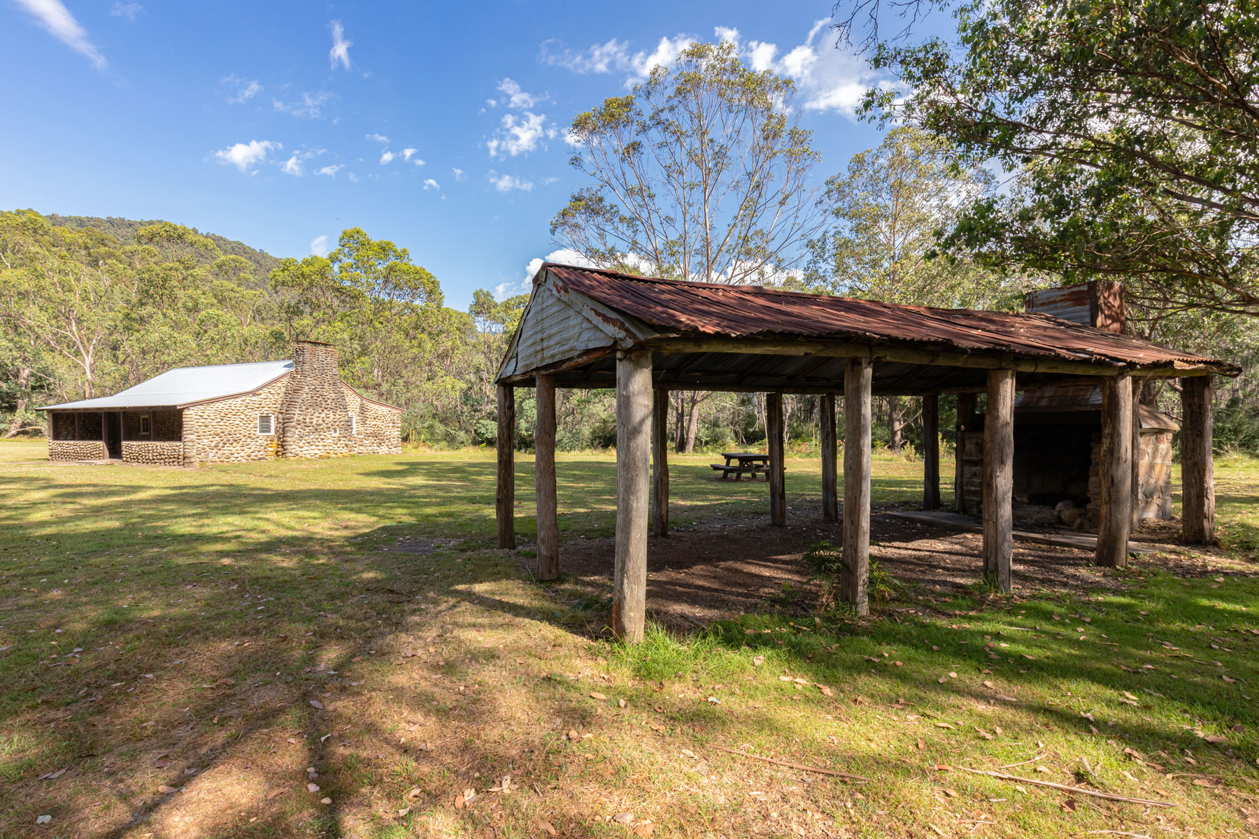
Skirting Tom Groggin Station that has a link to A.B Patterson’s “The Man from Snowy River”. When Banjo visited the property in 1890, he met Jack Riley, station manager at the time and a renowned horseman. It is thought that Jack was the inspiration behind the poem, and Jack’s grave can be found in the Corryong cemetery. We soon reached the intersection with Tom Groggin Track and following the signs, we turned left, making our way to the ford across the mighty Murray River.
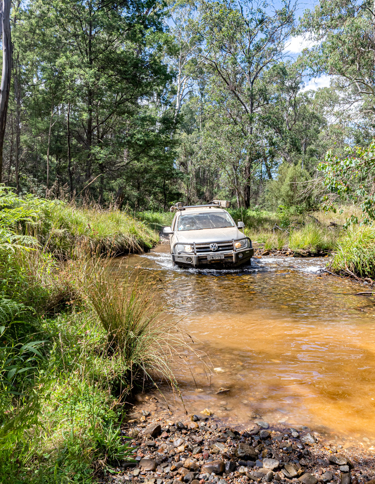
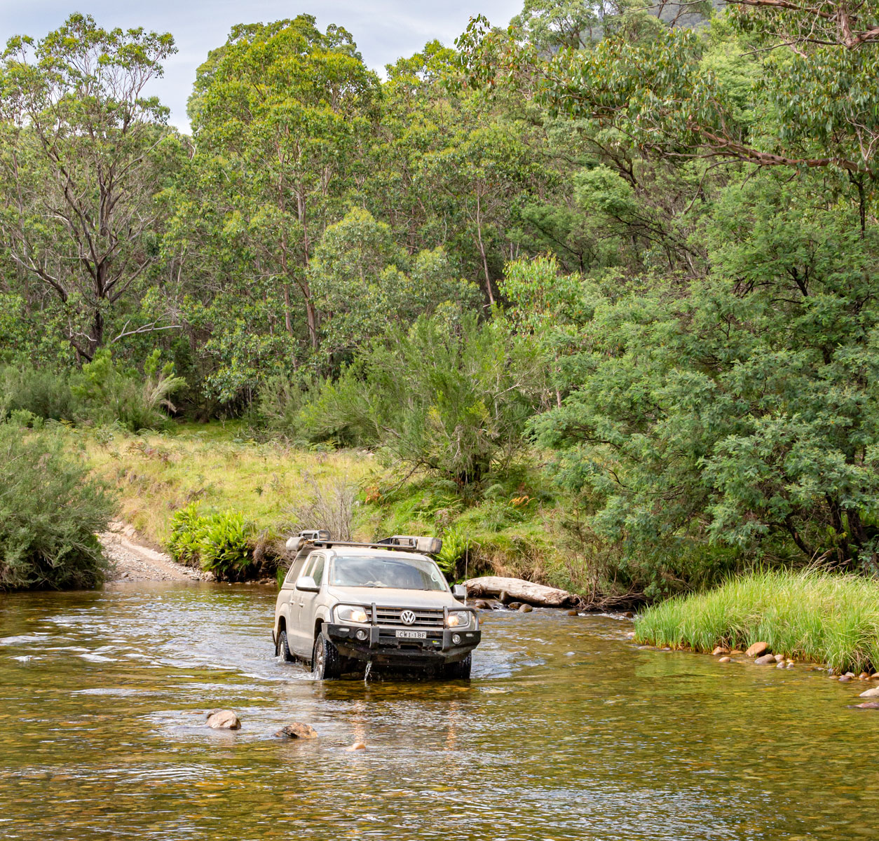
The Murray was flowing faster and the water deeper than I'd ever seen it before. Spending time walking the crossing and taking some photos also gave the vehicles time to cool down a bit. Entering the chilled water with hot diffs or brakes could be disastrous. I showed Mick the shallowest path by driving a big U-bend before heading upstream to the exit point. We both made it across without any trouble, a good thing as the Amarok was defenceless without a snorkel. Mick drove at the right speed, producing a low bow wave that prevented river water from entering the engine bay.
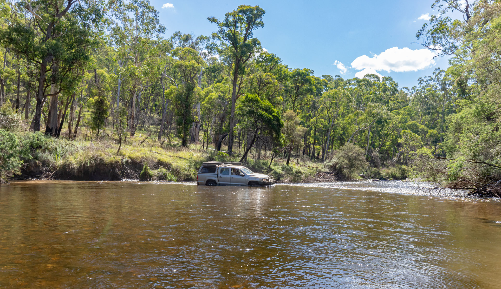
Crossing the Murray River
Tom Groggin campground was filling up fast, with a variety of setups, but the Swampy Plain River near Geehi was our objective. The 21km drive on the bitumen was slow going as we’d chosen not to air up as we would be back on the dirt soon enough. Upon reaching the Geehi we discovered the campground extremely busy with camping spots between the rest stop and Geehi Hut were all taken and they were packed in like sardines.
We decided to head further downstream to increase our chances of finding a ripper campsite. Fly Hut was also heavily populated, so after one more river crossing, we found the perfect spot. It was right on the river, flat with green grass and a very short walk to sit and cool down with a beer in hand in the refreshing water.
Once we’d cooled down, the fire was lit and we relaxed while snacking on a selection of cold meats and cheese. As golden hour kicked in, the changing colours on Mount Kosciuszko were special. When the redgum coals were emitting decent heat, the yearling rump steak with a spicy dry rub found a home on the grill until it was cooked just right.
The steak was accompanied by a couple of homemade salads, one being potato and egg and the other spinach with roasted sweet potato and beetroot and crumbled feta cheese. Talk about eating like kings. The night air became chilly and the dew began to fall so it was decided to retreat to the rooftop tent and swag for a good night’s sleep after a great day of 4WDing.
I awoke feeling refreshed to find Mick had already had a wake-up dip in the river. The Jetboil quickly boiled the water for fresh coffee made with the help of my Nespresso. Mick whipped up some bacon and eggs on toast for breakfast before we packed up and hit the trail.
After crossing the Swampy Plain River for the final time, we checked out the Old Geehi Hut before joining the Geehi Walls Firetrail. The views as we climbed the range were brilliant before we dropped back down into a small valley where Bogong Creek merges with Swampy Plain River. We discovered a couple of fly fisherpeople who were happy to chat. It was a great little campsite, but the fish weren’t biting.
Crossing the Swampy Plain River
Climbing the Geehi Walls Track
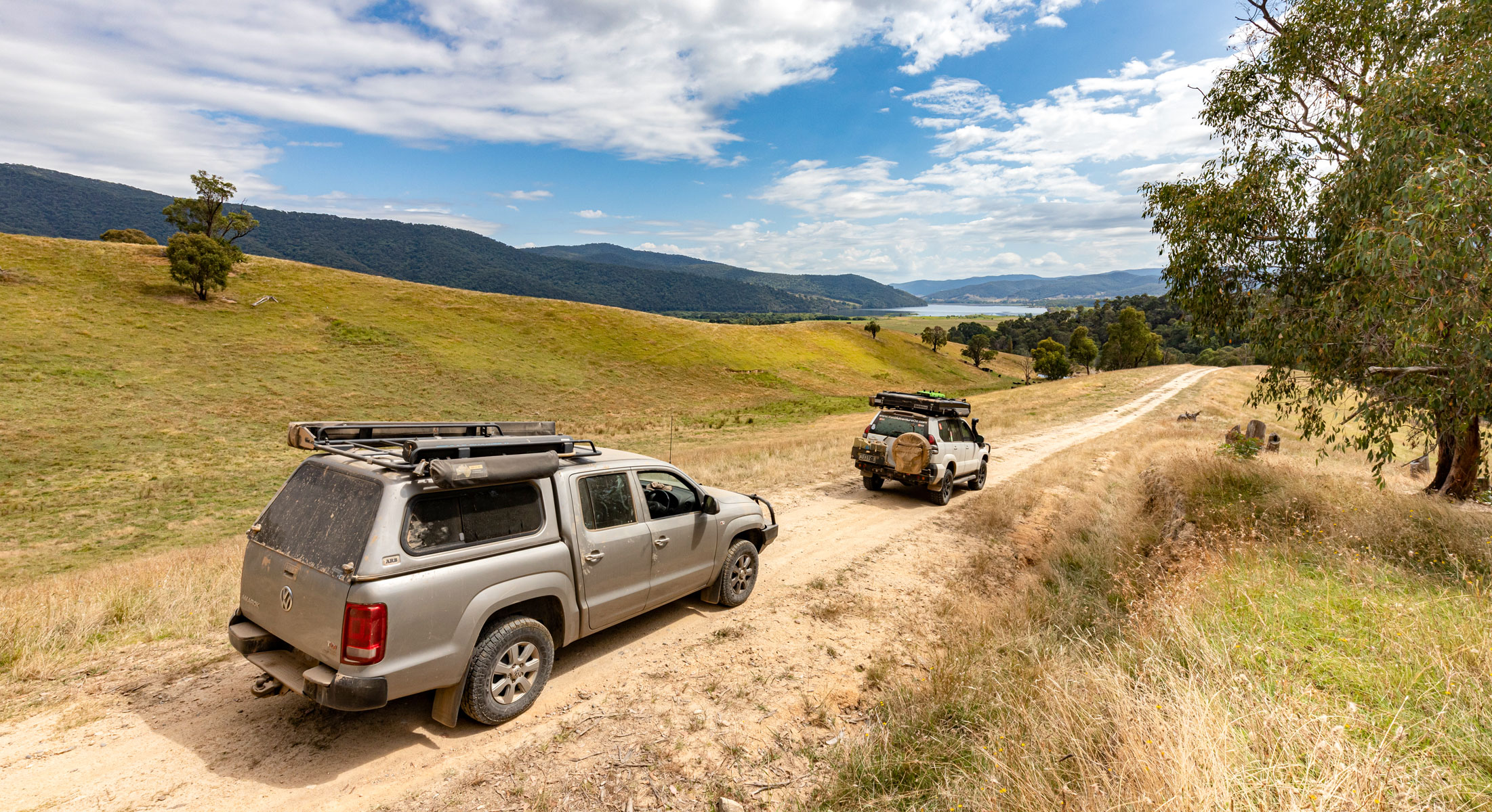
Climbing over another range, the track was easy and it wouldn’t be a problem towing a camper trailer along this trail. A quick detour took us to Major Clews Hut before we tackled the 3km to the first gate. Thankfully it wasn’t locked and a Subaru driver was thankful that we waited until they’d driven through before closing the gate, leaving it as we found it.
The track leads down to its conclusion at Waterfall Farm Road but not before offering magnificent views across to the Khancoban Pondage. The cattle weren’t fussed as we drove past but nor did they come and say hello while we were airing up at the final gate.
Views of the Khancoban Pondage
We are so spoiled by the variety of tracks within the high country and it’s always a bit of fun taking friends out who begin with little knowledge on how to 4WD but finish with some confidence and happiness that they’ve learnt a few things while also exploring spectacular country.
Visitor Info
Where: North-eastern Victoria
Nearest town: Corryong or Khancoban for fuel and supplies
When to go: These tracks are seasonally closed from Queens Birthday weekend in June until 1st November. Summer is a great time as it is a bit cooler up high.
What to take: A full tank of fuel, water to keep hydrated, food and some warm clothes. It can snow even in January in the High Country. BYO milled wood and take out what you bring in.
Mobile coverage: Limited - up high great, down low bad.
4x4 difficulty: In the dry, high clearance and traction control/low range is required. In the wet, some tracks are impassable or require lockers.
Tips:
- Keep an ear to the local radio for weather and bushfire updates.
- Learn how to read a map so that you can determine how steep a track is by the distance between the contour lines.
Helpful links:
Hema Maps Victorian High Country Pack
Stay Vigilant!
The last time I tackled the Mount Pinnibar Track, back in January 2019, climbing up from Tom Groggin, it didn’t end well. Just prior to reaching the turnoff to Mt. Gibbo, the track was shaly and badly eroded. In one section one of the rear wheels enjoyed some hang time and then dropped suddenly, biting into the rocks. I heard and felt a loud bang and momentum was instantly lost having blown the rear differential.
After managing to reverse down then turn around, I found a spot where I had mobile coverage. After several social media posts and text messages the wheels were set in motion for recovery. It took eight hours! Four hours for a couple of champion blokes to come from Albury then four hours to drag my sick Prado up and over Mount Pinnibar, and onto a car trailer, then head back to Albury, arriving at 2 am. I can never thank these legends enough.